Maps
Ireland is an island located northwest of continental Europe. It is the third-largest island in Europe. Politically, it is divided between the Republic of Ireland and Northern Ireland. To the east lies Great Britain.
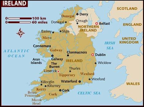
Map of Ireland with Cities
Here is a map of Ireland with some cities marked.
Obviously, this is a map for general reference. Should you plan to drive in Ireland, you can either download maps from specialized websites or buy a map when you get to Ireland. Ideally, you should buy a map of the region you drive in, as it is more detailed than a general driving map.
When it comes to sightseeing, make sure to pick up maps of the cities which also include the public transport. You’ll find them at the hostel or hotel for free or you can buy them online. For example, this Dublin PopOut Map is a good choice for getting around in the city.